The mainland of India extends from Kashmir to Kanyakumari from North to South.
From East to West it is Arunachal Pradesh and Gujarat respectively.
India’s territories limit extends up to 12 nautical miles from the coast or mainland.
The southern boundary extends up to 6 Degree 45 Minutes North latitude in the bay of Bengal.
The latitudinal and longitudinal extent of India is roughly about 30 degrees.
Whereas the actual distance measured from north to south is 3214 km and from the east, to the west, it is 2933 km.
This difference in the distance is because the distance between two longitudes decreases towards the poles whereas the distance between the two latitudes remains same everywhere.
The southern part of the country lies within the tropics and the northern part lies in the subtropical zone or warm temperate zone.
The location is responsible for the variations in landforms, climate, soil types, and natural vegetation in the country.
From the values of longitude, there is a variation of nearly 30 degrees, which causes the time difference of nearly two hours between the easternmost and westernmost parts of the country.
When the sun rises in the northeastern states about two hours earlier as compared to Jaisalmer, the watches in Dibrugarh, Imphal in the east and Jaisalmer, Bhopal, or Chennai show the same time.
This is because of understanding among the countries of the world to select the standard meridian in multiples of 7 degrees 30 minutes of longitude.
That’s why 82 degrees 30 minutes East is selected as the standard meridian of India.
India’s standard time is ahead of Greenwich Meantime by 5 hours and 30 minutes.
There are some countries where there is more than one standard meridian due to the vast east to a west extent. For example, the USA has a seven-time zone.
India with its area of 3.28 million sq.km accounts for 2.4 % of the world’s land surface area and it is the 7th largest country in the world.
Size of India
The size of India is the reason for great physical diversity.
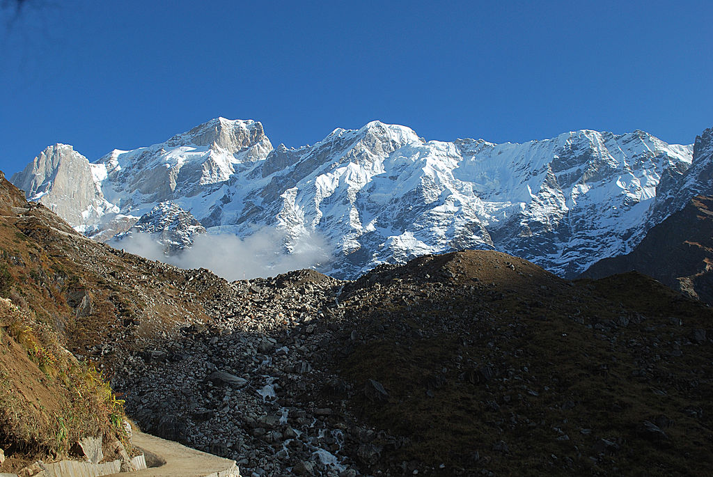
It consists of lofty mountains in the north, large rivers such as Ganga, Brahmaputra, Mahanadi, Krishan, Godavari, and Kaveri.
Green forested hills in northeast and south India and the vast sandy expanse of Marusthali.
The Himalayas in the north, Hindukush, and Sulaiman range in the northwest, Purvachal hills in the northeast, and by the large expanse of Indian ocean in the south, it forms a great Indian subcontinent.
The Indian Subcontinent includes Pakistan, Nepal, Bhutan, Bangladesh, and India.
The Himalayas and other ranges act as Physical Barriers in the past.
Except for a few mountain passes such as the Khyber, the Bolan, the shipkila, the Nathula, the Bomdila, etc.
These passes contributed to a unique regional identity of the Indian subcontinent.
The peninsular part of India extends towards the Indian ocean.
This has provided the country with a coastline of 6100 km in the mainland and 7517 km in the entire geographical coast of the mainland and island groups of Andaman and Nicobar and Lakshadweep in the Bay of Bengal and the Arabian Sea.
India and Its Neighbours
India is located in the south-central part of the continent of Asia which has bordering the Indian ocean and its two arms extending in the Bay of Bengal and Arabian sea.
Sri Lanka and the Maldives are the two island countries that are neighbors in the Indian ocean.
India and Srilanka are separated by the Gulf of Mannar and Palk Strait.
Related
* * All the Notes in this blog, are referred from Tamil Nadu State Board Books and Samacheer Kalvi Books. Kindly check with the original Tamil Nadu state board books and Ncert Books.